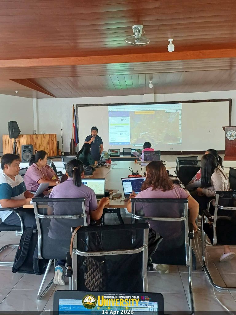
Tadian Center, Poblacion, Tadian, MP—The College of Engineering of the University spearheaded a training on Earth Observation Technology for Landslide Assessment and Monitoring for personnel of the Local Government Unit (LGU) of Tadian today, 14 April 2026.
The initiative aimed to enhance the technical capacity of LGU personnel in disaster risk reduction through the application of geospatial and satellite-based technologies. Engr. Rogie P. Laniton, Dean of the College of Engineering, discussed Earth Observation, while Engr. Jacey Dumaliw led the session on Spectral Bands and Spectral Indices.
Participants also took part in a hands-on workshop on the computation of indices to reinforce their understanding of the topics presented.
The activity underscores the University’s continuous commitment to advancing community-based, technology-driven approaches to landslide risk assessment in partnership with LGU Tadian.